
-
Last updated
03 August 2026
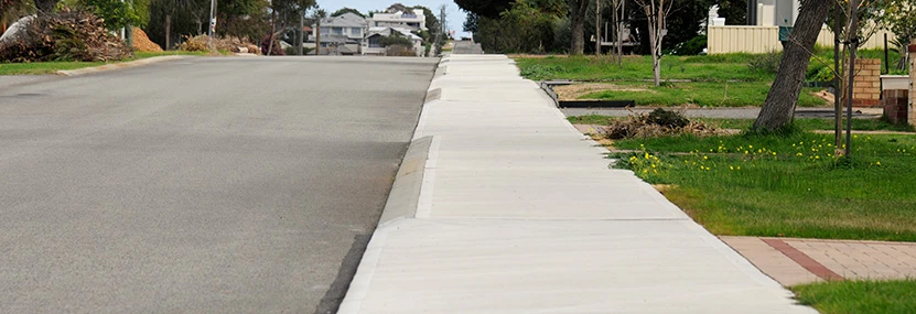
The City currently maintains a footpath network stretching over 900km. The construction and maintenance of footpaths is part of the City’s strategic initiative of creating an accessible and connected City.
Footpaths underpin the City’s Access and Inclusion Plan developed to support the independence of some of the most vulnerable members of our community including the elderly, people with mobility or visual impairments, young children and those using prams.
A connected city reduces congestion by encouraging residents of all ages and abilities to adopt more active and healthy modes of travel. With more people walking, footpaths create opportunities for human connection and as such help to build communities.
To achieve this, we continue to provide a safe network of cycleways and pathways that connect people and places.
Since 2009, the City has invested in a strategic footpath program to address a shortfall of over 300km of streets that warranted a footpath but did not have one. This was based on an adopted Council Policy for 'New Footpaths', that requires the construction of "a footpath on at least one side of every street that is not a cul-de-sac".
The City continues to invest in the construction of new footpaths and has, so far, reduced the deficit to approximately 170km.
Residents of streets proposed for footpath construction in the next financial year will receive a brochure outlining the program.
FAQs
The City uses a risk-based approach to determine preliminary street selection for proposed footpaths. This process considers factors such as expected pedestrian activity – particularly near shopping centres, schools, community facilities, and public transport – as well as traffic volumes and vehicle speeds.
Many factors are assessed when deciding which side of the street to place a footpath. These include shade and amenity, protection of street trees, the location of power poles, connectivity with existing footpaths, the terrain, and safety considerations such as sightlines and lighting.
If you have received our new footpath brochure ‘Building a connected and accessible neighbourhood’, this is because your street has been proposed for footpath construction. However, this is still subject to Council approval and will be decided during the City’s annual budgeting process.
Following Council approval and budgeting of a footpath in June/July, residents of the street will receive a second notification via direct letter 2-3 weeks before construction starts. This letter will include more detailed information such as the footpath design plan and detailed information about crossover adjustment, reinstatement works, traffic management and bin collection.
The City will reinstate all infrastructure affected by the works, including kerbing and verges. For information on the general types of reinstatement works visit the Roads, traffic and civil works projects.
To maintain visual continuity and delineation, the new footpath will cross through existing crossovers. This is in alignment with the Council’s Crossover Policy (revised 2020) to ensure that crossover and footpath comply with the requirements of the WA Local Government Association (WALGA) Crossover Guidelines and to align with the legal requirement under the Road Traffic Code 2000 for drivers to give way to all path users when entering and exiting adjacent land via the crossover.
Work of this nature will inevitably cause some inconvenience, however, we will endeavour to keep this to a minimum.
To report a maintenance issue with an existing footpath, please phone our Customer Contact Centre or visit the Report/request it services page.
Kerbing, verges and crossovers
Kerbing reinstatement
Where required, existing kerbing affected by the works is replaced to City standards with a semi-mountable type profile. Different profiles may be used where justified. The resident is requested to avoid driving over the fresh concrete kerb for at least three days.
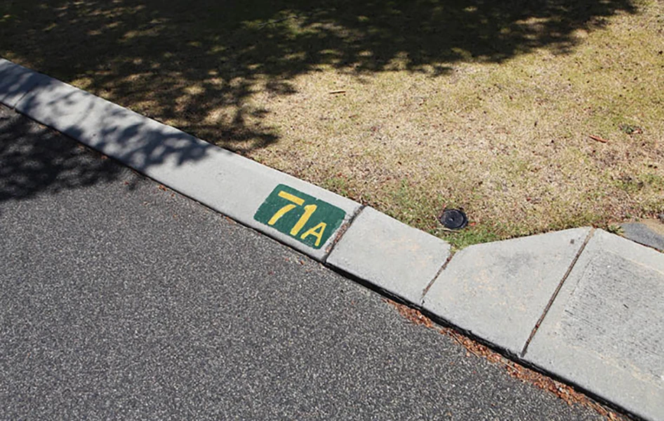
House numbers on kerbs
Existing painted house numbers affected by the works will be re-painted onto the new kerb where requested by the resident at the City's cost by an authorised contractor.
_946x600.webp?language=en "ENG_House-Numbers-on-Kerbs_TI-(1)_946x600")
Reticulation/sprinkler systems
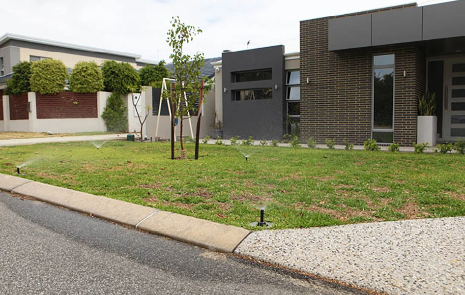
Following construction, existing functioning reticulation systems affected by the works will be reinstated by the City's contractor at no cost to the resident. Please test and notify the City of any damage within two weeks of completion of work on the verge. It is advisable to test your reticulation systems 24 hours after any concrete works have been completed to allow the concrete to set.
Plants
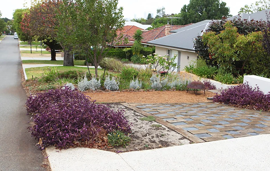
Where existing plants are likely to be impacted by the works it is responsibility of the adjoining owner/occupier to make arrangements for them to be removed, stored, watered and replanted at the completion of the project.
Hard stand verges
The City will reinstate hardstand areas (brick paving, bitumen and in-situ concrete) in the verge affected by the works and will endeavour to match existing materials where reasonable, safe and legal. Reinstatement works will allow a clearance of 2m away from street trees.
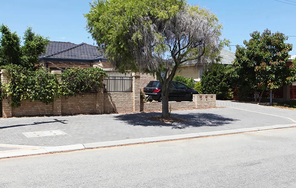
Trees
The City values its trees and will protect them during the works including possible ground level adjustments for existing tree roots.
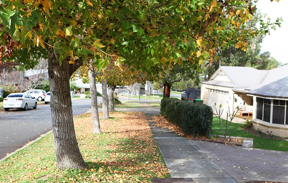
Reticulated lawn area
The City will reinstate lawn areas affected by the works with roll on turf where the width of the disturbed area is greater than 500mm. For widths 500mm or less, the disturbed area will be backfilled with clean yellow sand. The City will reinstate verge treatments that have been authorised and approved by the City but will not be responsible for reinstatement of verge treatments that are not of approved materials.
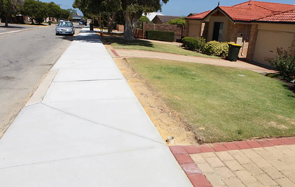
Non-reticulated lawn area
The City will reinstate lawn areas affected by the works with grass runners or grass planted randomly where the disturbed area has a width of greater than 500mm. For widths 500mm or less the City will backfill the disturbed areas with clean yellow sand.
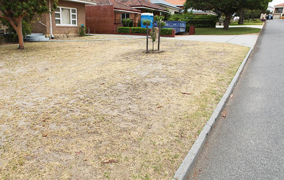
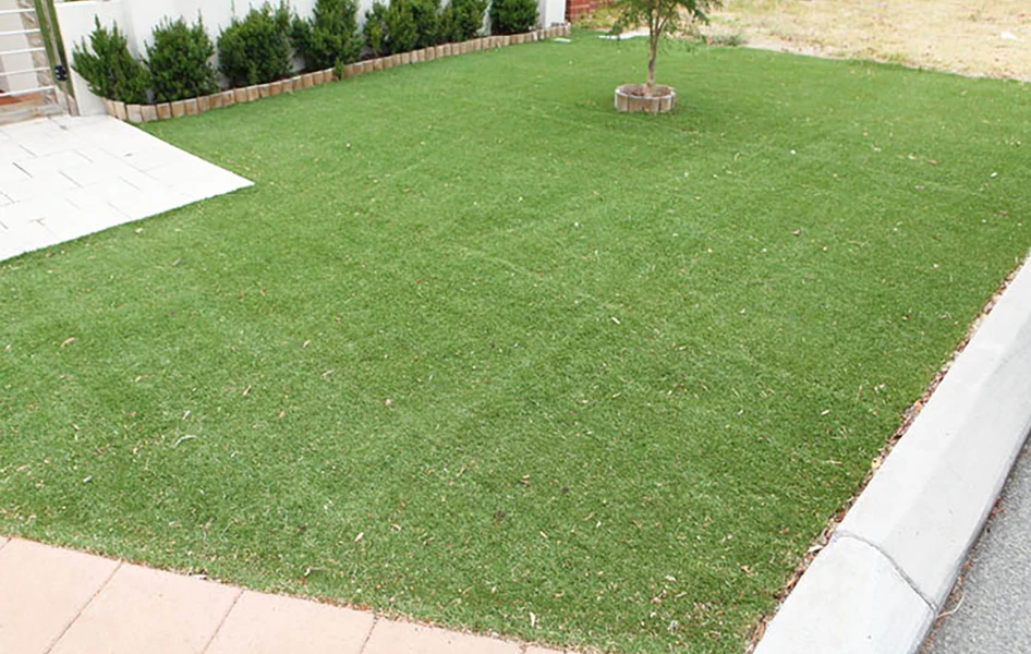
Artificial/synthetic lawn area
The City will temporarily remove any artificial turf in the verge/footpath that may be impacted by the works and put it back to its original position after completion of the works. Whilst the City will take care not to damage the synthetic turf, the City will not undertake any reinstatements of illegal materials.
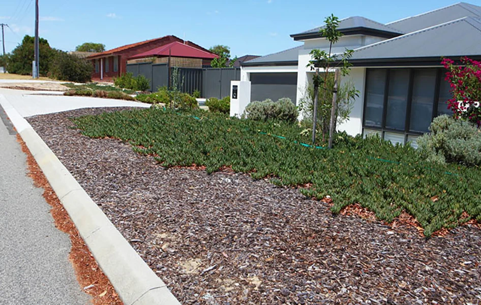
Mulch
The City will reinstate organic mulch on the verge that is affected by the works.
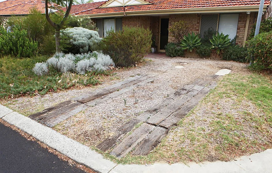
Informal crossovers
Where it is clear an alternative informal vehicle access is occurring into a property and is affected by the works the City will install a 600mm wide concrete apron within the affected kerb.
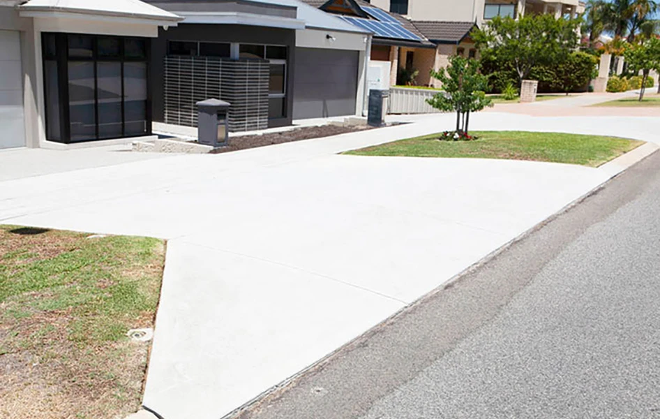
Concrete crossovers
The City will reinstate concrete crossovers that are affected by the works. The minimum reinstatement will be the removal and replacement of the first 2.05m from the front of the kerb to suit new road levels. For the first six (6) days after the concrete is poured, the resident is requested to avoid driving over the splays or edges of the crossover. Driving through the centre of the crossover splays is allowed after 3 days.
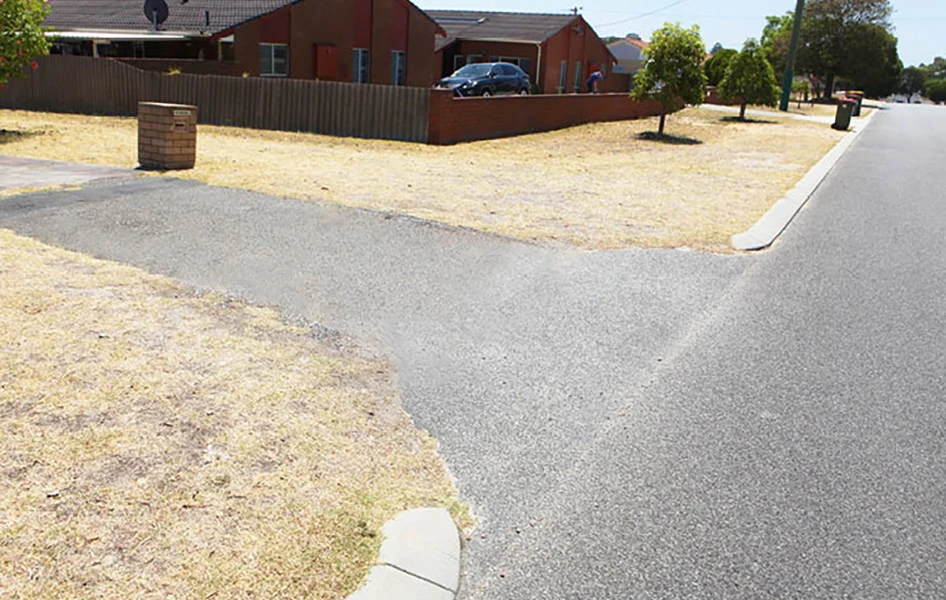
Asphalt/bitumen crossovers
Asphalt or bitumen crossovers affected by the works will be reinstated by the City. Depending on the level of impact of the works and the new road levels, the City will replace the existing asphalt or bitumen crossover with a standard grey concrete crossover. This usually occurs where the impact is greater than 1.0m from the front of the kerb line.
Brick paved crossovers
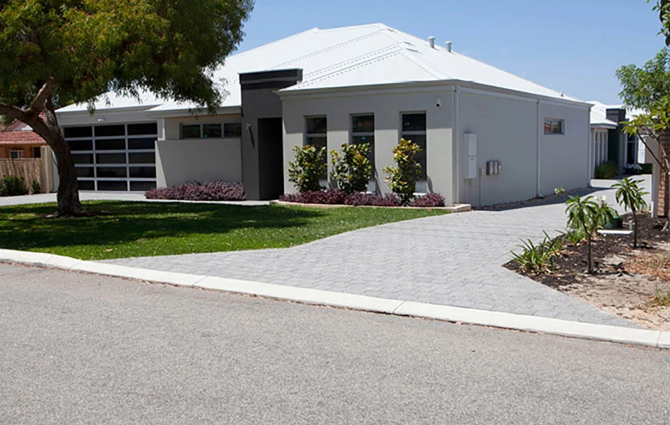
Brick paving disturbed by the City shall be reinstated to tie in with the new works. Excess brick pavers shall be removed and disposed of by the City without cost to the owner/occupier. If you would like to retain excess brick pavers, please contact the City’s representative, as shown in the notification letter prior to the commencement of construction works.
Due to problems associated with matching colours, the non-availability of some older style pavers, and potential level differences, a 600mm wide concrete apron will be provided at the road edge for the full width of the crossover. Brick paved crossovers on the new footpath alignment will be replaced with grey concrete to match the new path and to maintain the continuity and visual delineation of the new footpath.
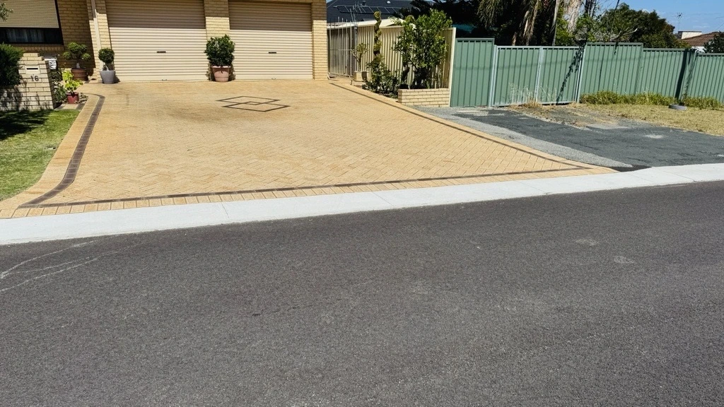
Apron Installation
For local roads, new 600mm wide concrete apron may be installed to existing brick-paved driveways at no cost to owners or occupiers. The apron will be installed at the road edge for the full width of the crossover in varying depth to address potential level differences.
.webp?language=en "Image-(2)")
Non-standard crossovers
The City will only reinstate non-standard crossovers affected by the works with standard grey concrete crossovers to a minimum distance of 2.05m from the front of the kerb. This will tie in with existing or possible future footpaths to maintain visual continuity of the footpath and in accordance with the City’s Crossover Policy.
For more information, or to receive this information in an alternate format, please contact the City on (08) 9205 8555 or visit www.stirling.wa.gov.au/enquiry.


